Satellite Data To Monitor Aquifer Water Loss
Month To Month Variations Available For First Time
12 Apr 2022 by The Water Diplomat
PASADENA CA, United States
Researchers from NASA’s Jet Propulsion Laboratory (JPL) have developed a new model to assess how underground water levels are depleted and regenerated. Specific data is now available on a month-to-month basis.
The team analysed water loss data gleaned from the US-European Gravity Recovery and Climate Experiment (GRACE) and combined it with data from the European Space Agency’s Sentinel-1 satellite, which measures movement on the earth’s surface.
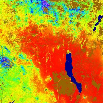
The researchers assessed the Tulare Basin in California’s Central Valley which produces about 40 Per Cent of all fruits, vegetables and nuts consumed in the US. This area is important in that it is generally quite dry and such productivity is possible only through groundwater pumping.
The new model can measure the rise and fall of the water table throughout the year but break it down to monthly subsets.
Up until now, there has been no good way to measure just how badly the underground aquifers are depleted.
“The method sorts out how much underground water loss comes from aquifers confined in clay, which can be drained so dry that they will not recover, and how much comes from soil that’s not confined in an aquifer, which can be replenished by a few years of normal rains,” JPL said in a statement.
The importance of measuring the water cannot be underestimated. Depletion of water in the top soil is not generally worrying. However, draining too much water from the underlying clay layer can damage the aquifer beyond repair.
The new model can identify how much water is lost at the top layer and how much is lost at the aquifer layer. The model can also be deployed in other regions where groundwater needs to be closely monitored.
Share this article:
Related Topics
4 Jun 2021 Washington D.C., United States
Study uses new gravity observation method to monitor changes to global water cycle. Satellite data helps measure mass change of water from different oceans across the planet. NASA ...